WebGIS: The Experts system
WebGIS can be individually configured. Additional to the functions of the InfoGIS, there are numerous editable options available to you:
- Add and edit data
- Redline/symbol function
- Indepth geo and object data analysis
- Inclusion of other content providers data
- Importing and georeferencing from your own data
- Development of modules for specialised applications
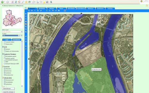
- Screenshot WebGIS
