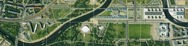
Einvironment/Agriculture
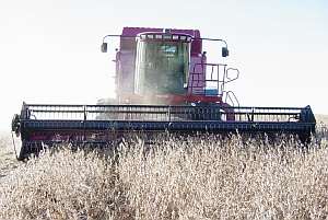
Nowadays, environmental protection and farming depend on up to date and precise information:
- Studies of environmental friendliness
- Mapping of biotope types
- Surveys of residual pollution
- Precision farming (Optimisation by linking crop maps and aerial image data)
- Applications for acreage contributions and their control
- Geographically precise border and acreage determination
- Design of continuous information systems from farms to the federal administration with unified acreage reference
| AGB | Lizenzen | Impressum | Haftungsausschluss | Sitemap | Datenschutz |